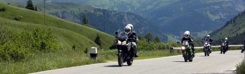
Unser Kumpel hat eine tolle Tour in den bayerischen Wald zusammen gebastelt.
Danke dafür!!!
Map of the route “Pfingsten 2020 – Bayerwaldtour”: 241,97 km, 5.520 m of climbing and 5.457 m of descent, elevation between 311 m and 909 m, time 04:05:55. It starts at 49.10470, 10.97861 and ends at 48.83585, 12.97867 (latitude, longitude).
Map of the route “Pfingsten 2020 – Bayerwaldtour”: 271,01 km, 7.738 m of climbing and 7.871 m of descent, elevation between 311 m and 1.080 m, time 04:38:14. It starts at 48.83449, 12.98969 and ends at 48.83556, 12.95209 (latitude, longitude).
Map of the route “Pfingsten 2020 – Bayerwaldtour”: 213,32 km, 4.151 m of climbing and 4.212 m of descent, elevation between 314 m and 676 m, time 03:37:19. It starts at 48.83457, 12.98854 and ends at 49.10552, 10.98486 (latitude, longitude).