
Frühjahr 2024 – Südtirol, Trentino
| Datum, Ziel | Route | Unterkunft |
|---|---|---|
|
13.06.2024 – Anfahrt: Ziel Castello die Fiemme über Penser Joch |
Route 1 über Penser Joch Map of the route “Frühjahr 2024 – Südtirol, Trentino”: 452,88 km, 13.135 m of climbing and 12.806 m of descent, elevation between 209 m and 2.103 m, time 07:30:56. It starts at 48.39651, 9.99280 and ends at 46.27654, 11.42476 (latitude, longitude). Gesamtstrecke: 454.54 km Download file: 24-06-IT-Ulm-Hotel-Italia-Castello-Molina-di-Fiemme-2.gpx |
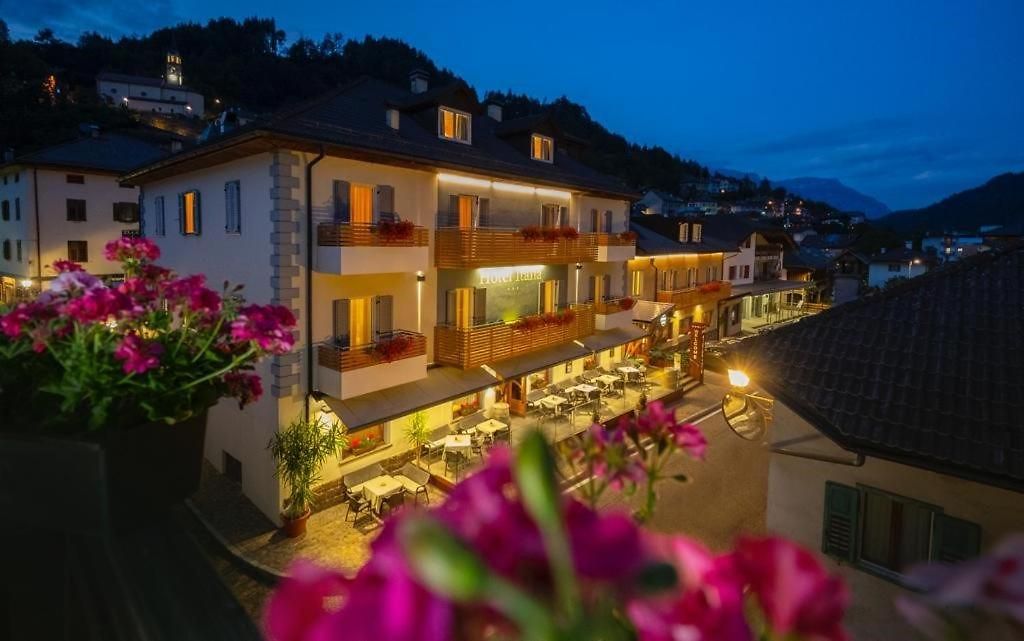
Hotel Italia |
|
Route 2 über Jaufenpass |
Map of the route “Frühjahr 2024 – Südtirol, Trentino”: 452,88 km, 13.135 m of climbing and 12.806 m of descent, elevation between 209 m and 2.103 m, time 07:30:56. It starts at 48.39651, 9.99280 and ends at 46.27654, 11.42476 (latitude, longitude). Gesamtstrecke: 454.54 km Download file: 24-06-IT-Ulm-Hotel-Italia-Castello-Molina-di-Fiemme-2.gpx |
Rundkurs ca. 250km |
| Mögliche Tour vom Hotel |
Map of the route “Frühjahr 2024 – Südtirol, Trentino”: 249,86 km, 11.385 m of climbing and 11.385 m of descent, elevation between 304 m and 2.035 m, time 04:17:22. It starts at 46.27246, 11.41678 and ends at 46.27395, 11.41890 (latitude, longitude). Gesamtstrecke: 250.24 km Download file: 24-IT-Hotel-Italia-Castello-Molina-di-Fiemme.gpx |
|
- Entfernung (km): 500