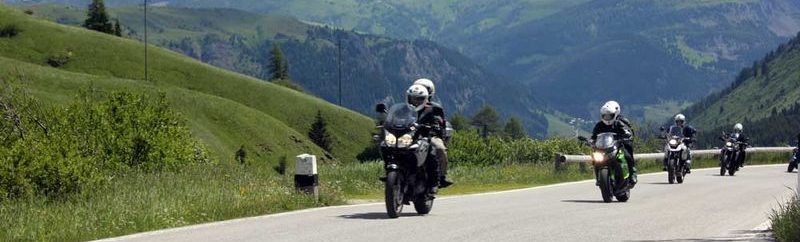
Südtirol Tour 2026, September – 4 Tage mit Freunden.
Die Planung:
Anfahrt
Map of the route “September 2026 – Südtirol, Dolomiten”: 311,06 km, 10.543 m of climbing and 10.344 m of descent, elevation between 292 m and 1.897 m, time 06:15:56. It starts at 47.58440, 10.55951 and ends at 46.55798, 11.48101 (latitude, longitude).
Tourvorschlag 1
Map of the route “September 2026 – Südtirol, Dolomiten”: 289,94 km, 13.285 m of climbing and 13.301 m of descent, elevation between 273 m and 2.033 m, time 04:55:48. It starts at 46.55829, 11.48119 and ends at 46.55313, 11.47796 (latitude, longitude).
Tourvorschlag 2
Map of the route “September 2026 – Südtirol, Dolomiten”: 332,60 km, 15.433 m of climbing and 15.417 m of descent, elevation between 210 m and 1.828 m, time 05:44:46. It starts at 46.55646, 11.48197 and ends at 46.55379, 11.48002 (latitude, longitude).
Tourvorschlag 3
Map of the route “September 2026 – Südtirol, Dolomiten”: 272,11 km, 11.493 m of climbing and 11.493 m of descent, elevation between 273 m and 2.123 m, time 05:32:57. It starts at 46.55646, 11.48196 and ends at 46.55273, 11.47837 (latitude, longitude).
Rückfahrt
Map of the route “September 2026 – Südtirol, Dolomiten”: 278,58 km, 11.614 m of climbing and 11.813 m of descent, elevation between 705 m and 2.472 m, time 05:09:55. It starts at 46.55647, 11.48197 and ends at 47.58345, 10.55985 (latitude, longitude).