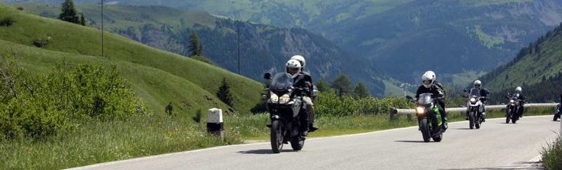
Übernachtung in Colmar und von dort eine Rundtour über die Vogesen.
Anfahrt und Tourvorschlag findet ihr in der Veranstaltung: “Details anzeigen”
Veranstaltung
Touren, Tracks
|
Map of the route “Ostertour in die Vogesen”: 359,02 km, 5.612 m of climbing and 6.018 m of descent, elevation between 171 m and 1.200 m, time 07:13:17. It starts at 48.45568, 9.91128 and ends at 48.04307, 7.30996 (latitude, longitude). Gesamtstrecke: 359.13 km Download file: Vogesen%20Anfahrt.gpx |
|
|
Map of the route “Ostertour in die Vogesen”: 275,96 km, 7.238 m of climbing and 7.240 m of descent, elevation between 191 m and 1.338 m, time 07:51:55. It is a loop that starts and ends at 48.04282, 7.31003 (latitude, longitude). Gesamtstrecke: 276.29 km Download file: Maps3D%202022-04-16%2017-24pm.gpx |
|
|
Map of the route “Ostertour in die Vogesen”: 310,83 km, 5.189 m of climbing and 4.689 m of descent, elevation between 183 m and 1.200 m, time 06:35:43. It starts at 48.04308, 7.31012 and ends at 48.52669, 9.84948 (latitude, longitude). Gesamtstrecke: 310.89 km Download file: Maps3D%202022-04-17%2016-01pm.gpx |