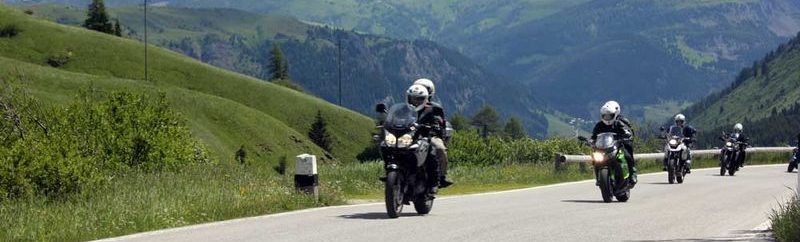
Bilder
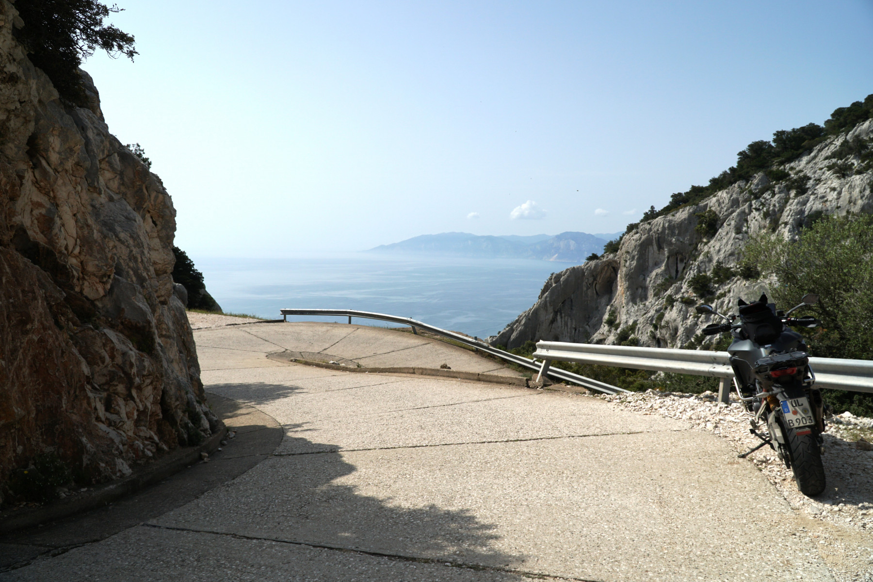
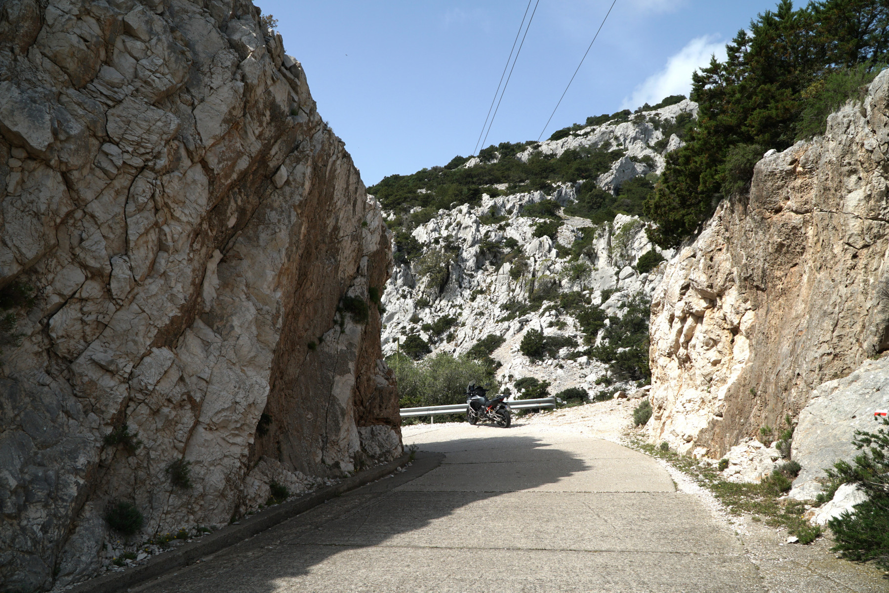
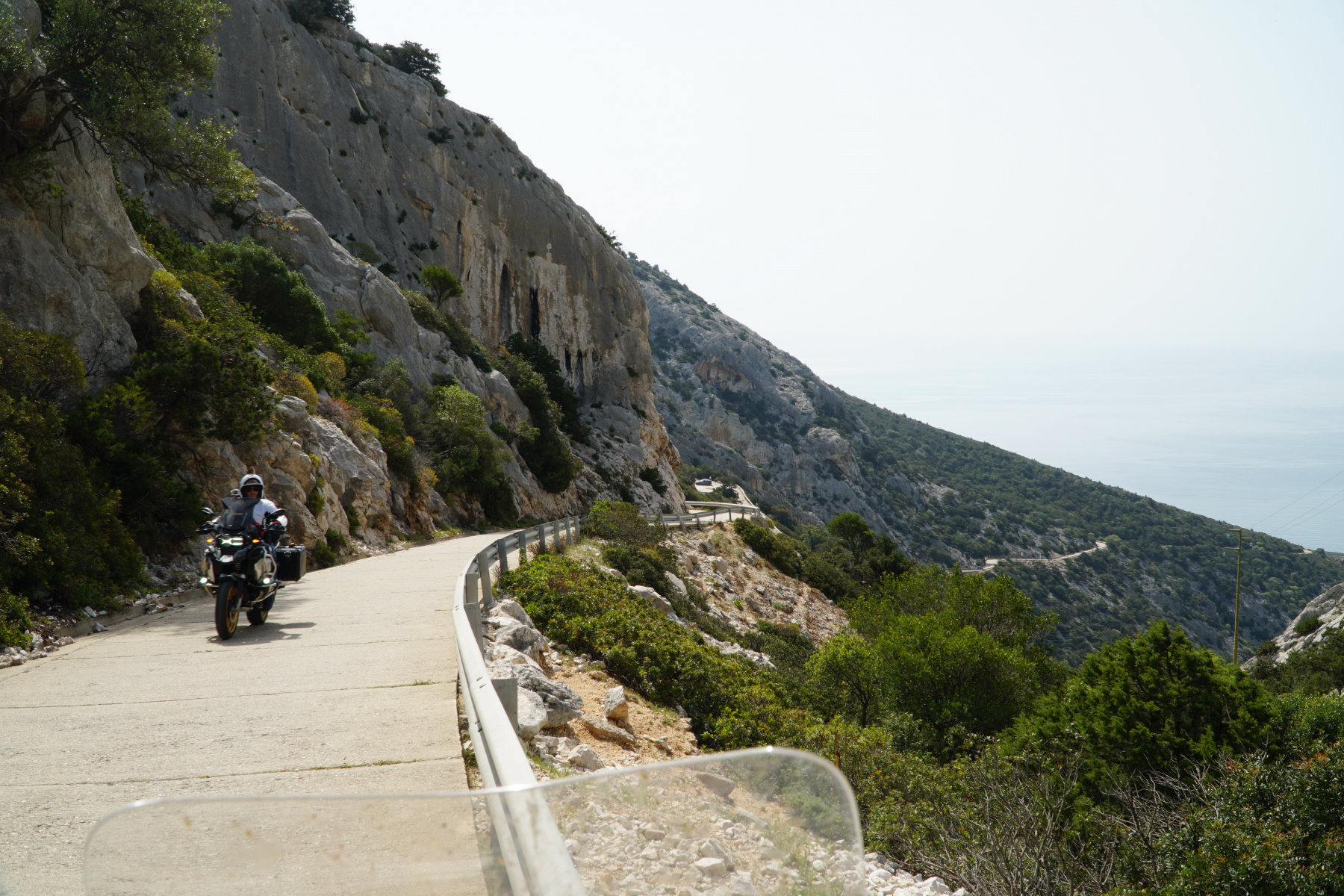
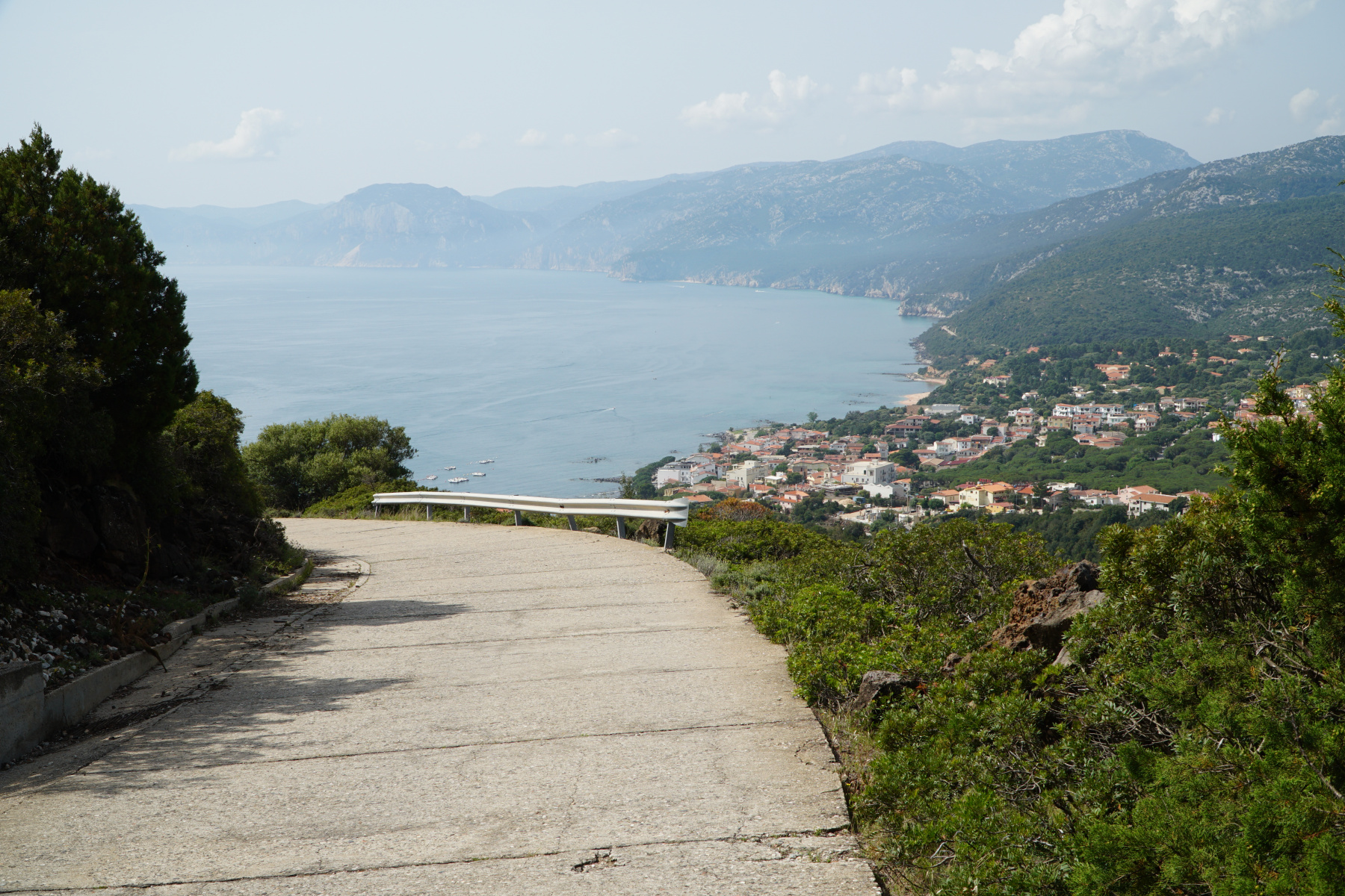
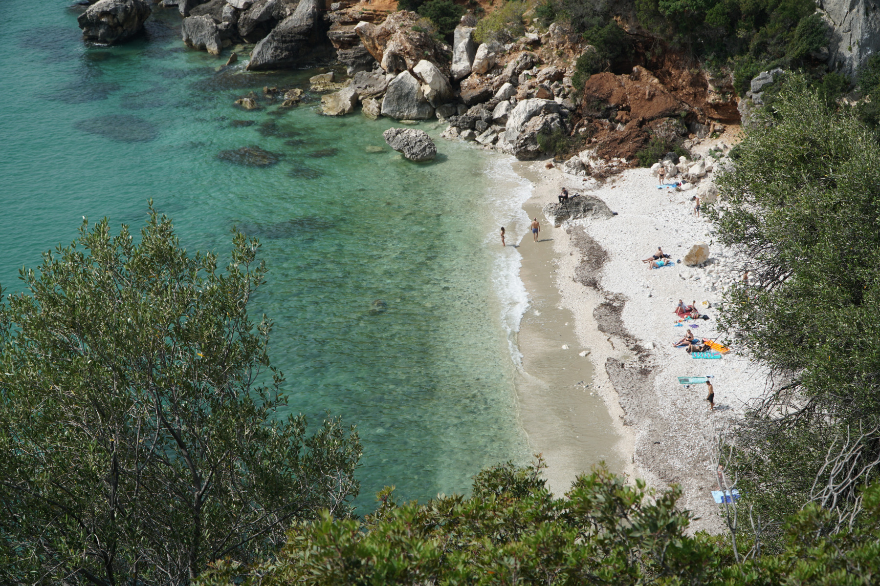

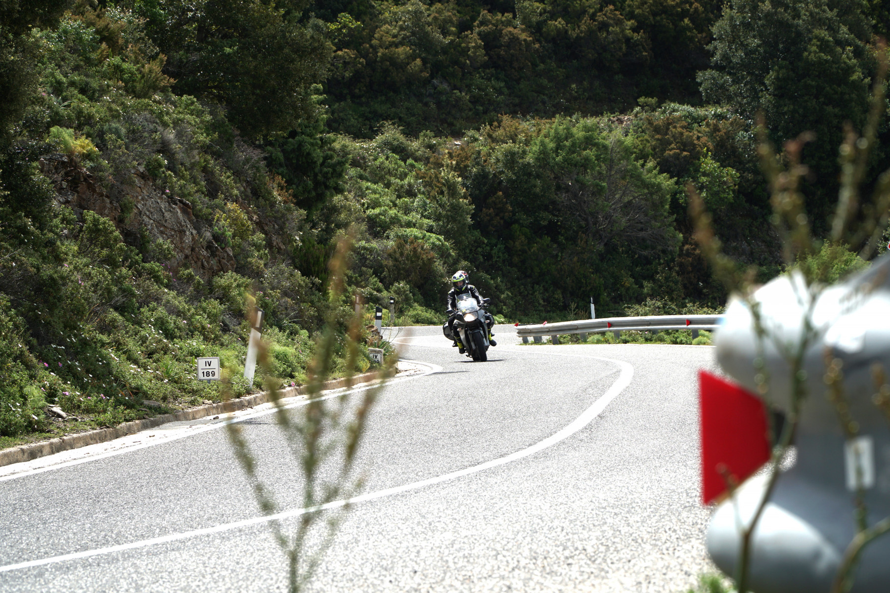
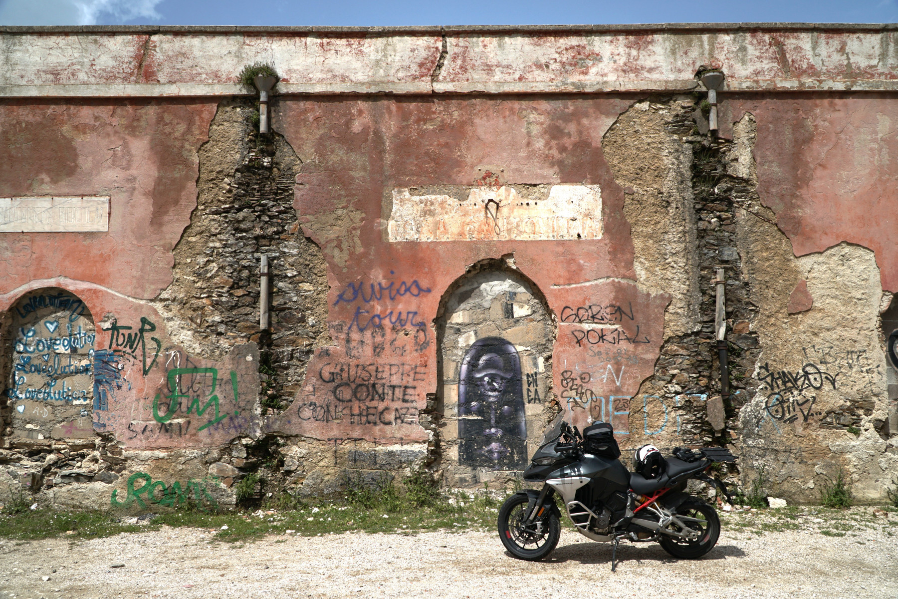
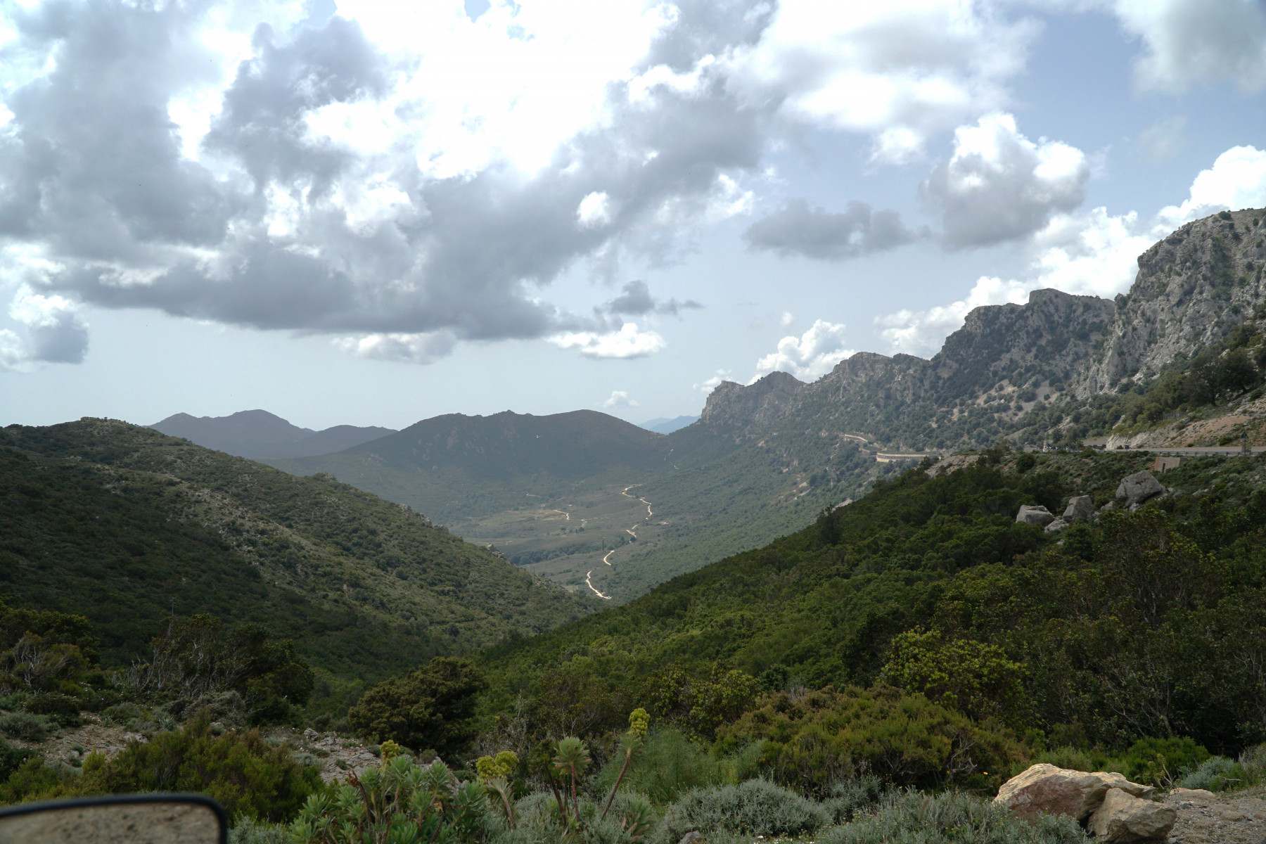
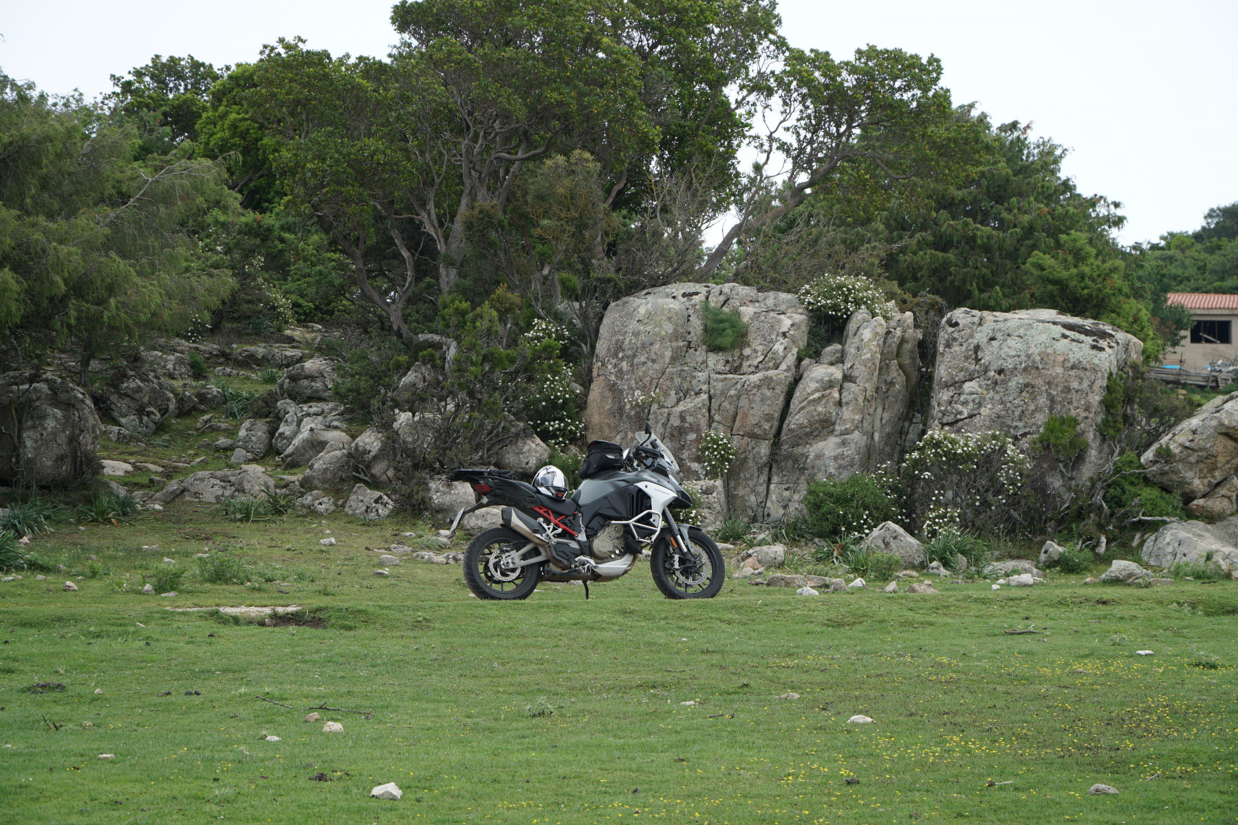
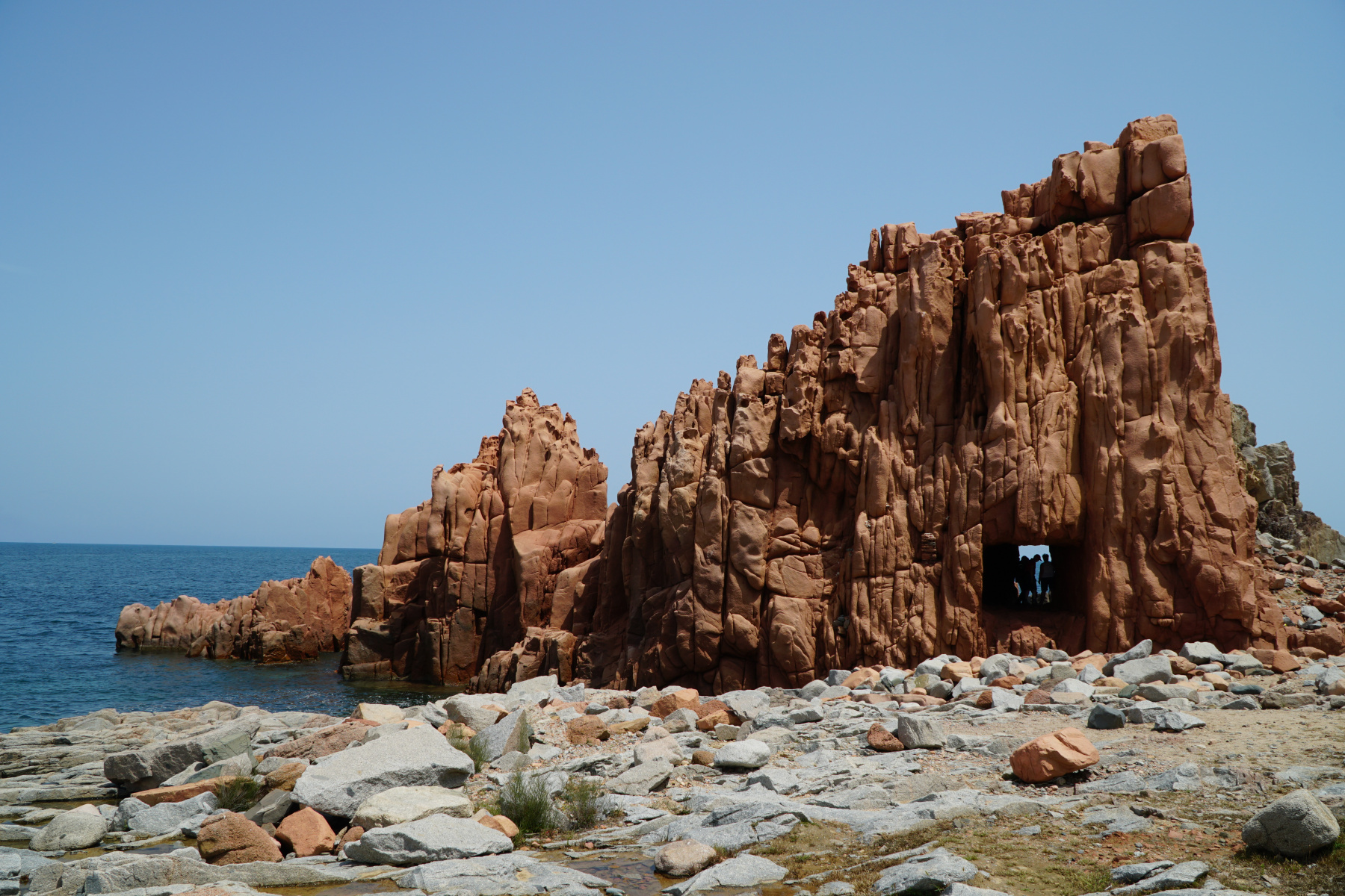
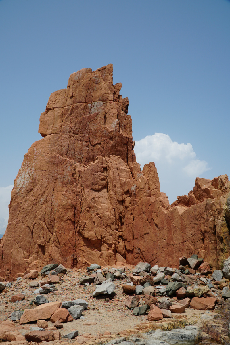
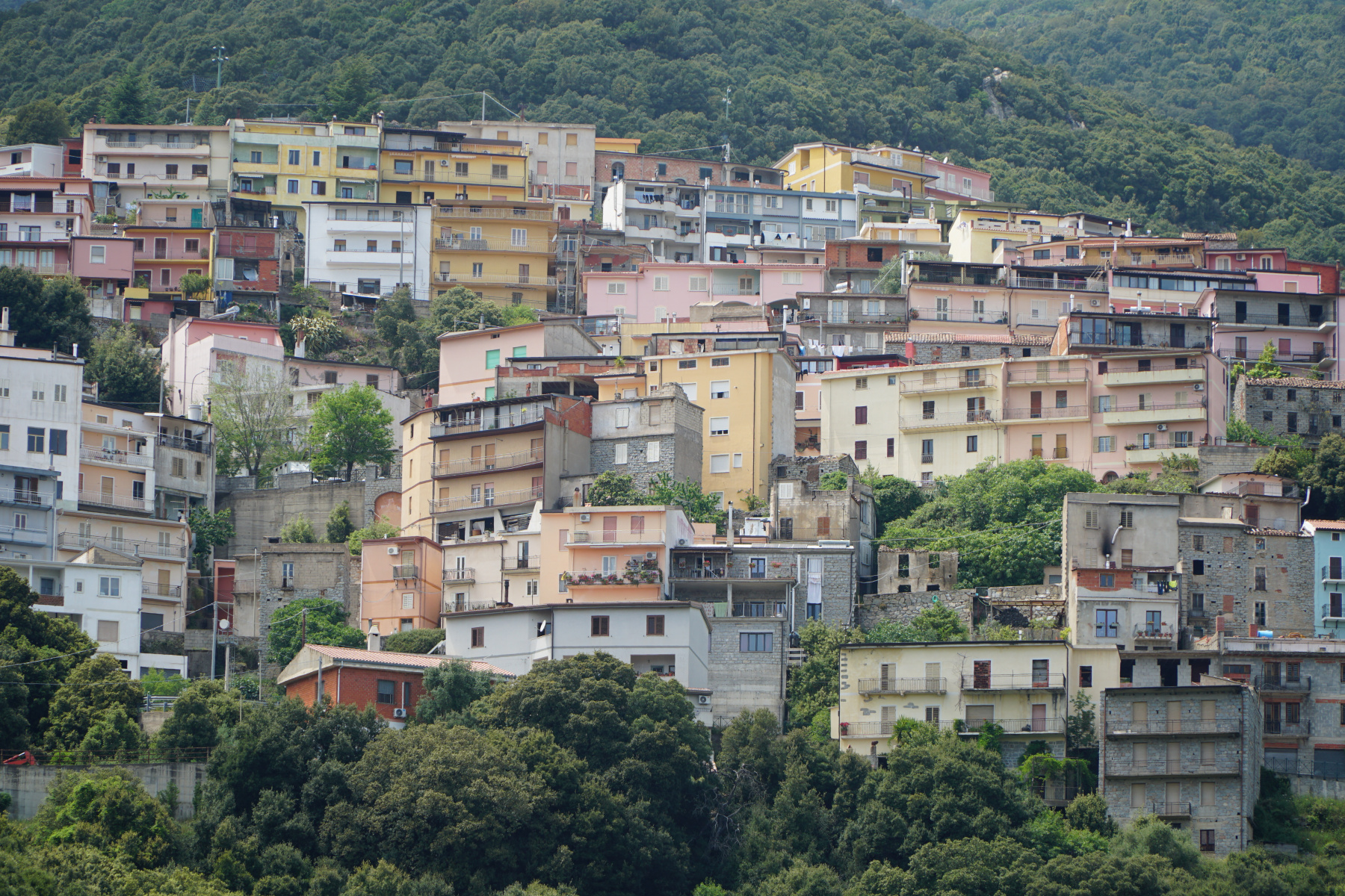
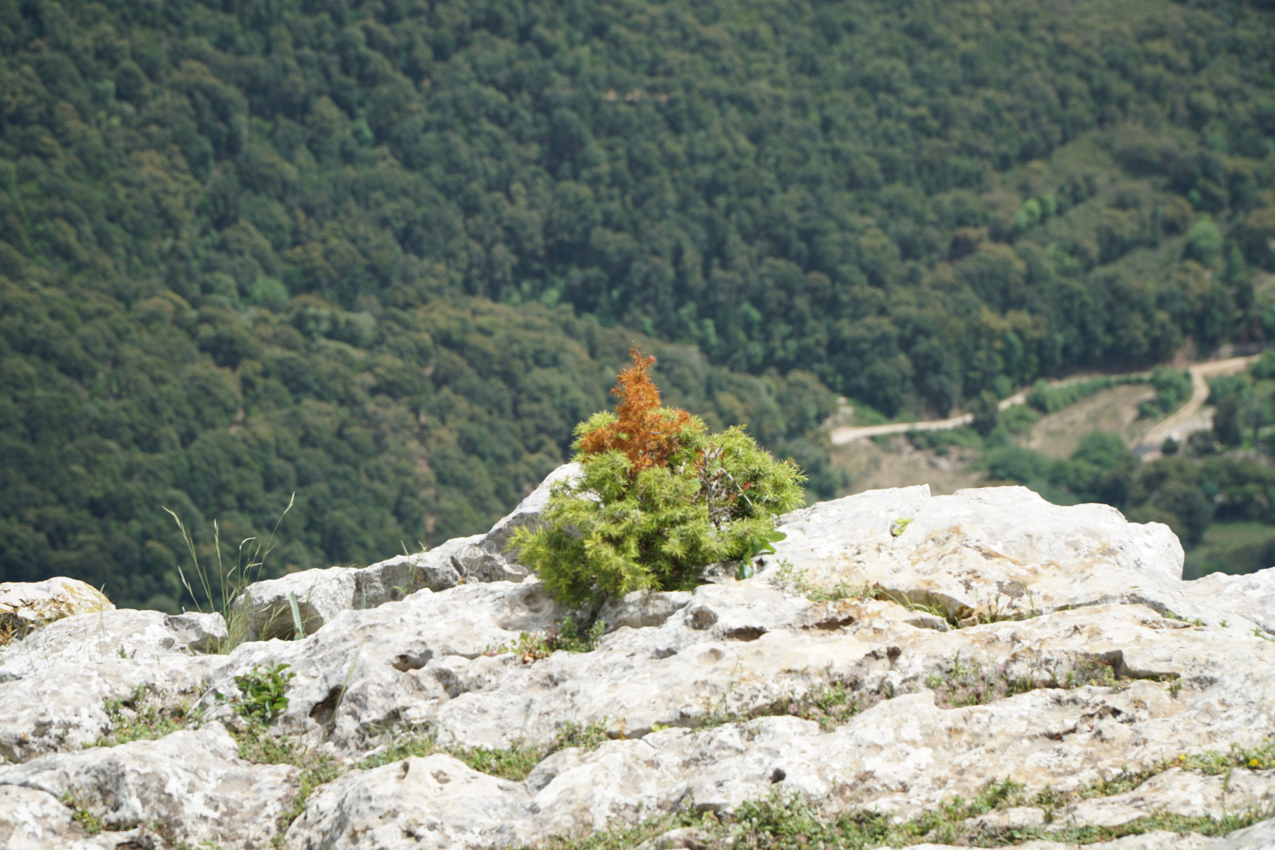
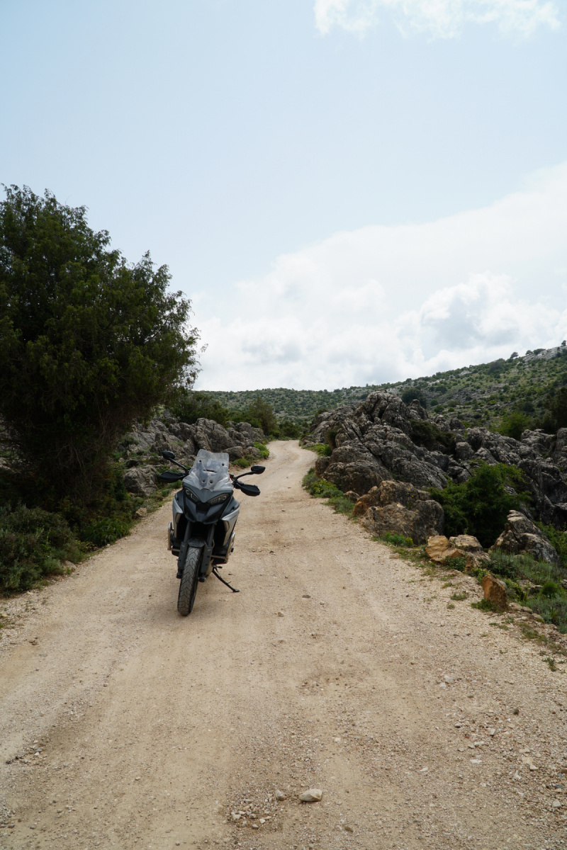



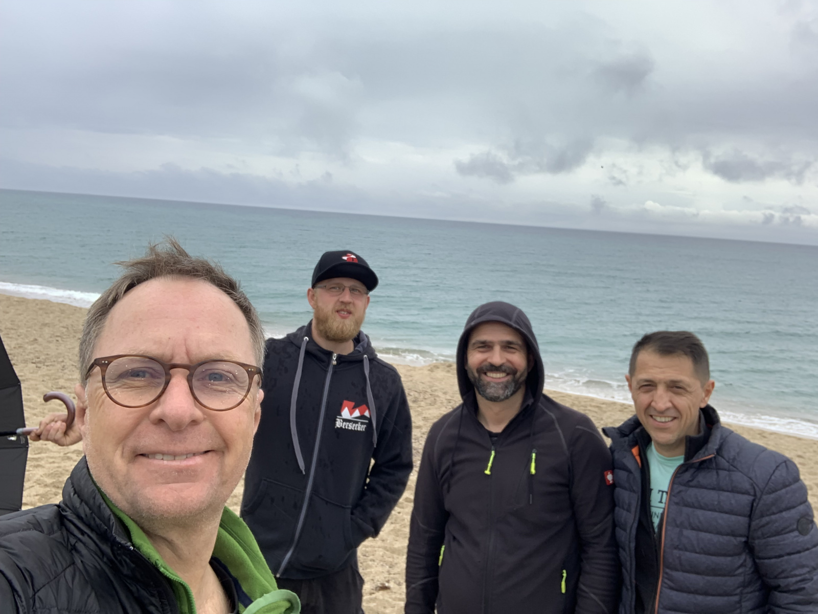

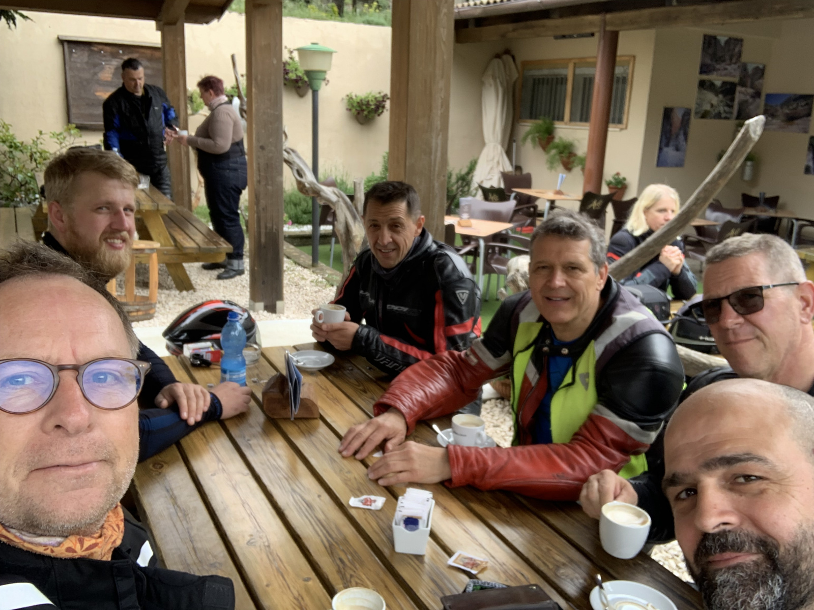
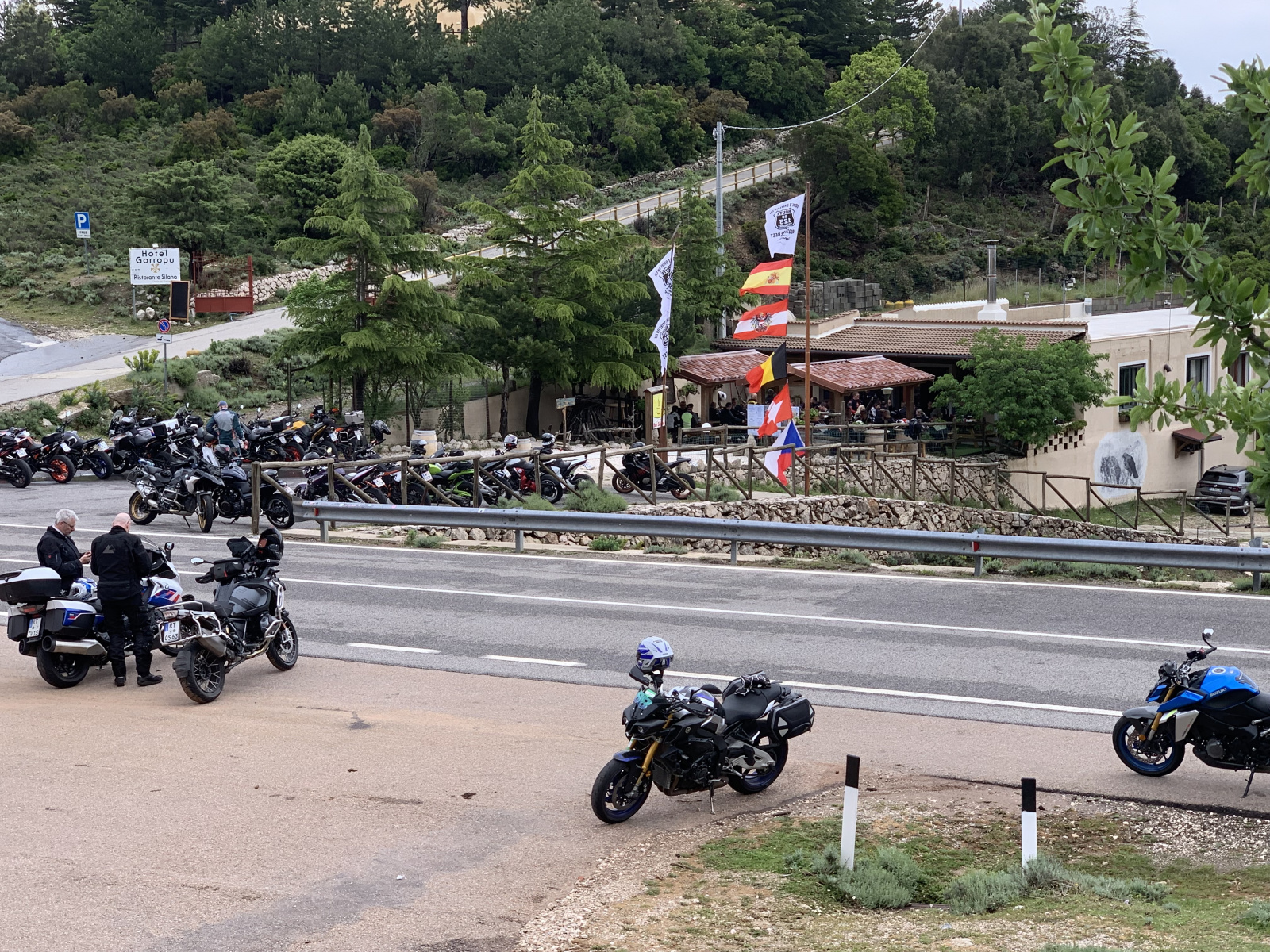
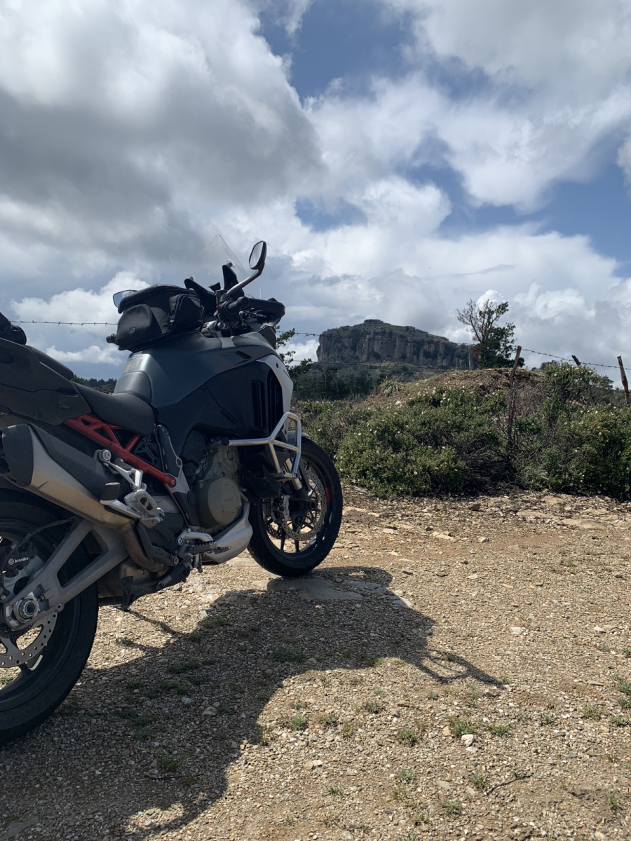

Die gefahrenen Touren:
Hier ein Teil der gefahrenen Touren
| Tag | GPX Strecke |
|---|---|
| 21.05.2023 |
Map of the route “18.05.2023 – Sardinien”: 374,12 km, 5.848 m of climbing and 5.842 m of descent, elevation between 1 m and 830 m, time 06:45:10. It starts at 40.37052, 9.69425 and ends at 40.37229, 9.69565 (latitude, longitude). Gesamtstrecke: 374.41 km Download file: Maps3D%202023-05-21%2018-53pm.gpx |
| 22.05.2023 |
Map of the route “18.05.2023 – Sardinien”: 294,70 km, 6.164 m of climbing and 6.165 m of descent, elevation between 6 m and 1.233 m, time 08:14:47. It starts at 40.37641, 9.69642 and ends at 40.37058, 9.69426 (latitude, longitude). Gesamtstrecke: 294.7 km Download file: Maps3D%202023-05-22%2017-49pm.gpx
|
| 23.05.2023 |
Map of the route “18.05.2023 – Sardinien”: 174,64 km, 3.687 m of climbing and 3.687 m of descent, elevation between 3 m and 942 m, time 04:42:18. It is a loop that starts and ends at 40.37052, 9.69426 (latitude, longitude). Gesamtstrecke: 174.81 km Download file: Maps3D%202023-05-23%2014-38pm.gpx
|
| 24.05.2023 |
Map of the route “18.05.2023 – Sardinien”: 241,17 km, 5.807 m of climbing and 5.810 m of descent, elevation between 6 m and 1.817 m, time 06:33:37. It starts at 40.37670, 9.69509 and ends at 40.37214, 9.69550 (latitude, longitude). Gesamtstrecke: 241.39 km Download file: Maps3D%202023-05-24%2016-53pm.gpx |
| 25.05.2023 |
Map of the route “18.05.2023 – Sardinien”: 227,88 km, 4.994 m of climbing and 4.993 m of descent, elevation between 3 m and 1.024 m, time 06:50:48. It starts at 40.37016, 9.69448 and ends at 40.37498, 9.69586 (latitude, longitude). Gesamtstrecke: 228.45 km Download file: Maps3D%202023-05-25%2016-24pm.gpx |
| 26.05.2023 |
Map of the route “18.05.2023 – Sardinien”: 393,22 km, 6.757 m of climbing and 6.757 m of descent, elevation between 2 m and 913 m, time 09:34:51. It starts at 40.37050, 9.69433 and ends at 40.37688, 9.69445 (latitude, longitude). Gesamtstrecke: 394.19 km Download file: Maps3D%202023-05-26%2019-36pm.gpx
|